Uluwatu is a name used for a visitor area on the south-western Bukit Peninsula, not a separate administrative district. In Bali’s location catalogue it sits within South Kuta, while many addresses described as “Uluwatu” are in Pecatu village. The label is useful for finding the cliffside coast and nearby communities, but it does not define one precise boundary; the village and street still matter when choosing somewhere to stay or arranging a service.
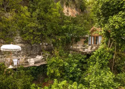
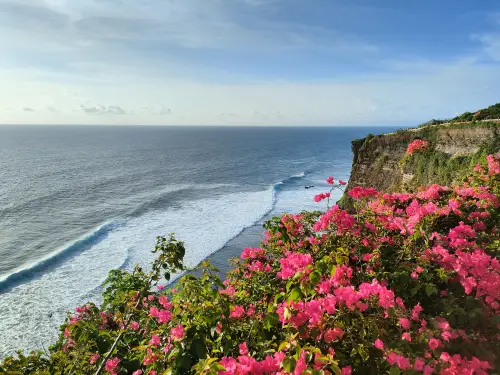
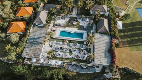
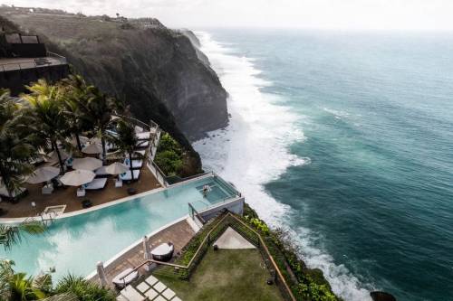
The Uluwatu temple is in Pecatu, South Kuta, and gives the area one of its best-known reference points. The surrounding landscape is a limestone peninsula with high coastal edges, roads running between settlements and access points down to the shore. That setting can make two places that appear close on a map feel quite different in practice: a property near a main road is not the same as one reached by a steep lane or a path toward the water.
Several coastal places are associated with Pecatu and the wider Uluwatu area. Suluban, Padang-Padang and the temple coast are often discussed together, but each has its own access and character. The name Uluwatu in an advertisement may refer to the broader destination rather than the exact beach or neighbourhood. If the sea, a surf break or a particular meeting point is important, check which place the author means and how the final part of the route is reached.
Surfing and time by the water are part of the visitor image of this coast, alongside cultural and religious places such as Pura Luhur Uluwatu. They are only one part of local life. People also live and work in Pecatu, run everyday businesses and make regular trips for supplies, school, health care and other services. A search for a short stay, a longer home or a working arrangement may therefore call for different priorities than a search for a beach visit.
Transport deserves attention before committing to an address. Roads on the peninsula connect scattered residential and visitor areas, and traffic near popular destinations can change the time a trip takes. A short straight-line distance does not tell you whether a route is direct, whether the last section is walkable or how easy it is to reach shops and services without a vehicle. Check the exact location and current route for the hours you expect to travel.
For a longer stay, people may compare housing, work, transport, repairs, household goods and local specialists. A person who surfs regularly may value access to a particular coast; someone working nearby may care more about a reliable route and daily services. Families, seasonal workers and visitors also use the area differently. No single part of Uluwatu suits every routine, and the broader name alone cannot answer practical questions about a specific address.
Uluwatu is narrower than South Kuta as a search area, but the two names are not interchangeable. South Kuta also includes other communities, such as Jimbaran, Benoa, Ungasan and Kutuh, each with its own coastline and everyday routes. Conversely, “Uluwatu” is used flexibly for a visitor area rather than as an exact village boundary. When comparing a listing, look for Pecatu or another named locality and confirm where it is, rather than assuming that every South Kuta result is close to the cliffs.
This page is a catalogue of private and local announcements for the Uluwatu area. People can post information about accommodation, work, a service or an item, while others can look for options connected with this part of South Kuta. Use the specific village, beach or street to narrow the search; the regional label describes a general area, not a guarantee that a particular offer is available or nearby.